Gradians to Radians: Converting European Survey Data for Computation
Gradians to radiansconversion — multiply by π/200 — is the first step when European survey field data meets computational software. Switzerland's national coordinate system, France's cadastral records, and Germany's geodetic networks all store angles in gon. Every trig function in Python, C, or MATLAB expects radians. The π/200 factor sits at that boundary, and skipping it produces coordinates that land in the wrong canton.
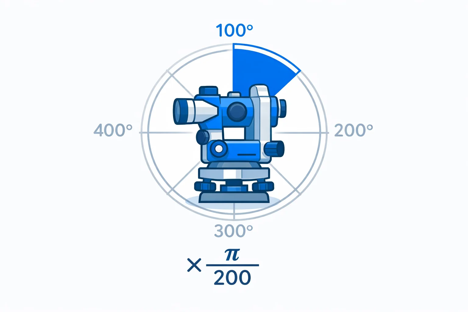
The Formula: × π/200
radians = gradians × (π / 200)
A full circle = 400 gon = 2π rad. Divide: 2π / 400 = π/200 ≈ 0.015708. Each gradian is about 0.0157 radians — a small arc. The reverse direction uses 200/π; our radians to gradians converter covers that.
Swiss and French National Grids: Where Gon Is Default
Switzerland's CH1903+ / LV95 coordinate system — the framework behind every Swiss topographic map — defines azimuths in gon. The Federal Office of Topography (swisstopo) publishes control point data with bearings in gon, not degrees.
France's Lambert conformal conic projections — used by the Institut national de l'information géographique et forestière (IGN) — historically define convergence angles and grid bearings in gradians. Germany's DHDN/GK Gauss-Krüger system does the same. If you work with European geodetic data, you will encounter gon at some point.
The moment that data enters a coordinate transform library like PROJ, pyproj, or GeographicLib, it needs radians. That's the handoff point where × π/200 matters.
Coordinate Transform: Gon Field Data to UTM
Walk through a real workflow:
- Field observation: A theodolite reads a horizontal angle of 234.5678 gon between two control points.
- Convert to radians: 234.5678 × (π/200) = 3.6847 rad.
- Compute coordinates: Using sin(3.6847) and cos(3.6847), the adjustment software calculates the easting and northing offsets relative to the baseline.
- Transform to UTM: The adjusted local coordinates are projected into UTM zone 32N for the final deliverable.
If step 2 used π/180 (the degrees-to-radians constant) by mistake, the computed angle would be 4.0938 rad instead of 3.6847 — an 11% error that shifts the stakeout point by dozens of meters on a 200-meter baseline.
Gradian-to-Radian Precision at Different Scales
How much precision does the conversion constant need? It depends on the measurement scale:
| Constant precision | Error per 100 gon | Lateral error at 1 km |
|---|---|---|
| π/200 ≈ 0.016 (2 digits) | 0.029 rad (1.66°) | 29 meters |
| 0.01571 (4 digits) | 1.5 × 10⁻⁵ rad (3.1″) | 1.5 cm |
| 0.0157080 (6 digits) | ~10⁻⁸ rad | sub-millimeter |
| Math.PI / 200 (full) | ~10⁻¹⁶ rad | effectively zero |
Using the language's built-in Math.PIconstant eliminates precision as a concern entirely. There's never a reason to hard-code the constant.
Five Bearings You'd Convert in Practice
Not textbook angles — actual bearings from survey field books:
137.4582 gon: 137.4582 × 0.015708 = 2.1592 rad. A bearing roughly south-southeast. Common in cadastral traverses.
312.8900 gon: 312.89 × 0.015708 = 4.9149 rad. Fourth quadrant — northwest direction. Near the 300 gon (due west) mark.
0.0045 gon: 0.0045 × 0.015708 = 0.00007 rad. Nearly due north. This tiny angle represents a near-zero deflection from the baseline — a check shot verifying instrument orientation.
399.9998 gon: 399.9998 × 0.015708 = 6.2832 rad. Almost a full circle. This is 360° minus a hair — the instrument hasn't quite closed the traverse loop.
66.6667 gon: 66.6667 × 0.015708 = 1.0472 rad. That's π/3 — a 60° angle. The interior angle of an equilateral triangle. Note that 60° isn't a round number in gon (66.667 vs the clean 66.667 repeating).
The GIS Layer Mismatch Problem
GIS software like QGIS or ArcGIS Pro can import data from multiple sources. A common scenario: one layer comes from a Swiss LV95 dataset with azimuths in gon, another from a GPS survey with bearings in decimal degrees. If you run a spatial join or buffer operation without normalizing the angle units first, the geometry engine (which works in radians internally) produces incorrect results.
The solution: convert all angles to a single unit at import time. Since the internal engine uses radians, converting gon → radians (× π/200) and degrees → radians (× π/180) at the import boundary prevents unit mismatches downstream. Our degrees to radians converter covers the degree side of that pipeline.
Scientific Calculator GRAD Mode: What It Does
Every scientific calculator has three angle modes: DEG, RAD, GRAD. GRAD mode means the calculator interprets all trig inputs as gradians and outputs angles in gradians.
In GRAD mode: sin(100) = 1 (because 100 gon = 90°, and sin(90°) = 1). In DEG mode: sin(100) = 0.9848 (because 100° is slightly past 90°). In RAD mode: sin(100) = −0.5064 (because 100 radians ≈ 5,730°).
If your trig results seem plausible but slightly off, check the mode. The 10% gap between gon and degrees means GRAD-mode results can look reasonable when you're expecting DEG results — making the bug hard to spot.
Estimating Without a Calculator
One radian ≈ 63.66 gon. So divide the gradian value by 64 for a quick estimate.
300 gon ÷ 64 ≈ 4.69 rad. Exact answer: 3π/2 ≈ 4.7124 rad. That's off by about 0.5% — more than enough for a sanity check. If you need better accuracy, divide by 63.7 to get within 0.1%.
For GPS and mapping angles that start in degrees-minutes-seconds format, our DMS to decimal degrees converter handles the first step before you convert to radians.